Archive Record
Images
Metadata
Title |
Timaru Harbour Board District plan |
Collection |
Timaru Harbour Board |
Scope & Content |
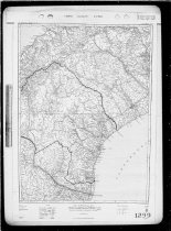
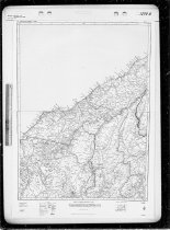
A pair of plans showing the Timaru Harbour Board District, dated February 1964 and January 1966. Comprised of a Lands and Survey NZMS maps: - NZMS 10A, Sheet 29 (L&S ref: 17/323/29, 5th Edition, 1 February 1964), showing Timaru, Waimate, Geraldine, Mackenzie and Ashburton Districts. - NZMS 10A, Sheet 28 (L&S ref: 17/323/28, 6th Edition, 1 January 1966), showing the eastern portion of the Mackenzie District, plus adjacent Westland, Lakes, and other districts. Timaru Harbour Board Plan no.1299 |
Object Name |
Plan |
Creator |
Lands & Surveys Dept, NZ |
Year Range from |
1964 |
Year Range to |
1966 |
Subjects |
Maps Local government |
Catalogue Number |
2017/135.0435 |